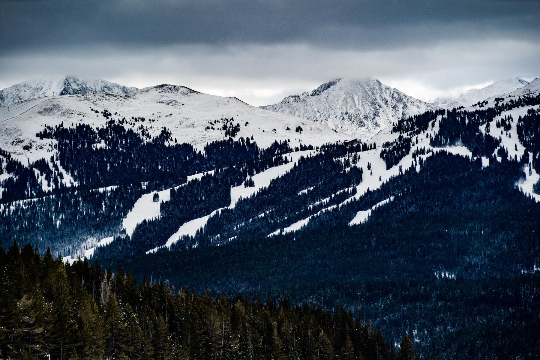
A wave of late-winter storms has pushed snow accumulation in all of Colorado’s major water-storage basins above normal levels for the first time this year, data show.
Statewide, snowpack — which melts into a crucial water source for the state and becomes the primary supply for the Colorado River system that supplies 40 million people across the West — has now exceeded long-term climate averages.
Suzanne Paschke, a hydrologist and deputy director of the U.S. Geological Survey’s Colorado Water Science Center, said recent snowstorms “has everyone excited for improvements,” but said much of the state will likely have a smaller snow-fed water supply this year than it did in 2023.
Colorado is still a few weeks away from April 1, around when snowpack levels typically peak and the Spring melt-off starts in earnest. Despite the slow start, reservoirs across the state are reporting more water storage in 2024 than in 2023. However, Paschke said those reservoirs are likely still being buoyed by last year’s healthier snowpack.
“There presently appears to be more filled capacity than at this time last year, which may be a reflection of the observed snowpack and spring runoff conditions from the prior year,” she said.
While automated climate sensors in most of Colorado's major river basins are recording less snowpack than in 2023, two are bucking the trend: the Arkansas and South Platte basins in southern and northern Colorado, data from the U.S. Department of Agriculture’s SNOTEL monitoring network show.